


BlighterNexus HMI
Radar Operator Interface
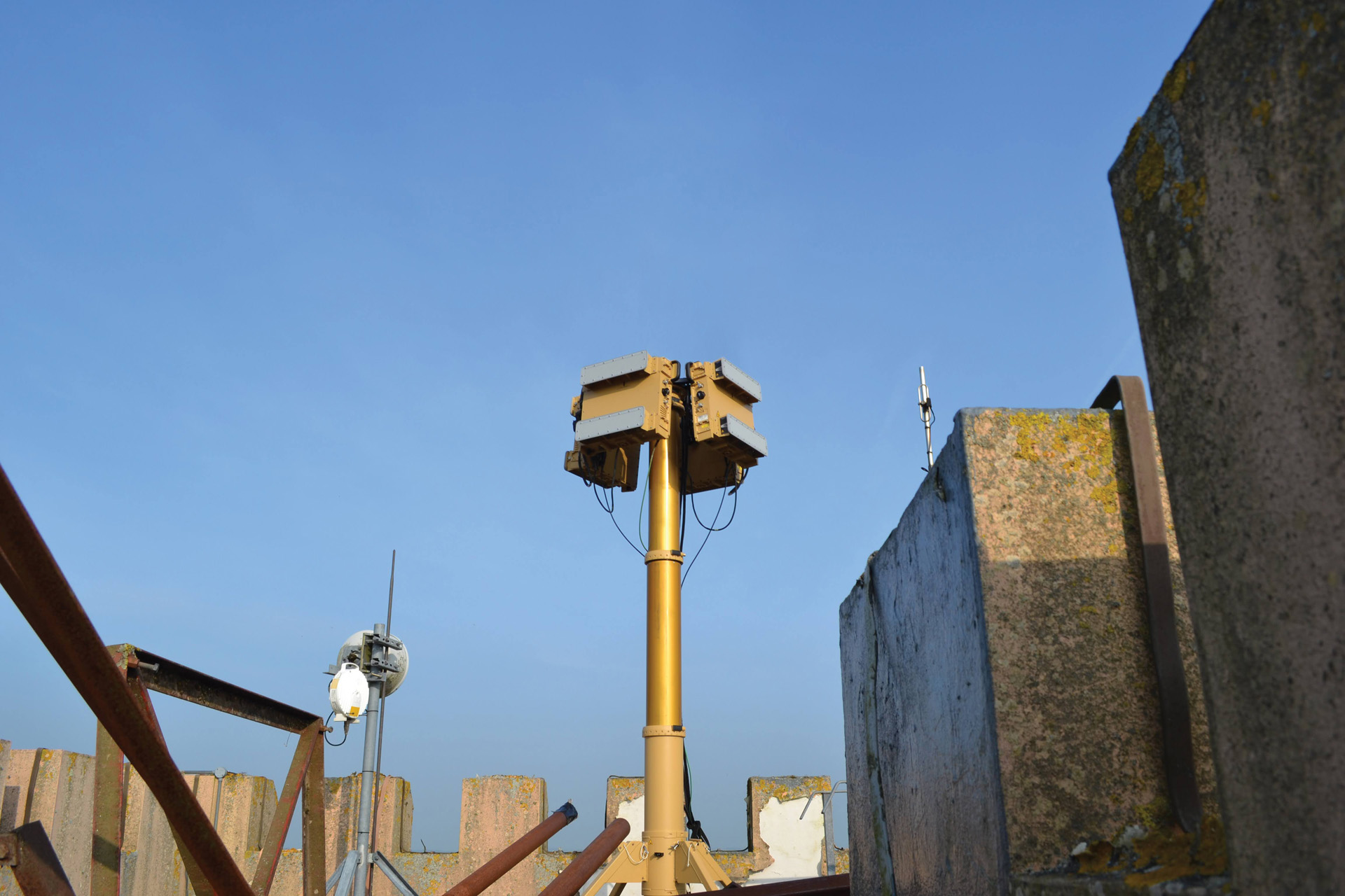
The BlighterNexus HMI is a modern, operator-focused radar interface that enables real-time control, monitoring, and visualisation of Blighter radar systems. Purpose-built for surveillance and security applications, the HMI presents a clean, intuitive display of radar detections, alerts, and system health checks, which enable operators to assess threats quickly and respond with confidence.
Designed for flexible use in fixed command centres, tactical operations rooms, or mobile surveillance units, the interface plays a critical role in operational awareness and radar mission control.
Clear visualisation of Radar Data
At the core of BlighterNexus HMI is a real-time geographic map view, which displays:
- Live radar detections across one or multiple sensors
- Sensor coverage areas, with terrain overlays
- Alerts triggered by movement, direction or behaviour
- System status indicators and diagnostics
The layout is configurable to support different mission needs, whether monitoring a national border, a critical infrastructure site or a high-threat perimeter.
Built for Early Detection for Rapid Interception
BlighterNexus HMI is engineered for operational clarity and responsiveness. With real-time control, sensor-fusion compatibility, and customisable alert rules, operators have a complete picture of their environment and potential threats as soon as they appear.
Enabling Effective Border and Site Security
From government agencies to system integrators, the BlighterNexus HMI helps users:
- Monitor wide areas with high fidelity
- Identify and track potential threats early
- Reduce operator training time through intuitive UX
It is a key enabler of rapid decision-making in high-stakes surveillance and security environments.
Resources
BlighterNexus HMI Provides:
- Wind compensation controls
- Rain Filter controls
- Sensitivity levels controls
- Envitia MapLink Pro mapping
- Open Street Map
- Create up to 30 zone polygons
- Alert and exclusion zones
These advanced software features provide security teams and operators with the ability to quickly translate complex data, and make important, time critical decisions in complete confidence.
